Yup, I made a GPT. It’s based on an idea I've had for a while, it idea goes like this. It is actually kinda hard to pick a route for a backpacking trip. There are a million variables, campsites, fitting segments into a schedule, knowing where water is, parking, bugs, different park systems... It takes a ton of time. If there was a way to narrow the universe of possibilities, pick a few objectives, trail, time, distance, etc, it would give you a head start. That’s what Trail Assistant does.
What it is:
This GPT can give you a rough outline of a trip based on distance, direction, number of days, etc. It will also alert you of logistical issues, fees, closures, average weather, trail landmarks, highlights, and more. You can ask for multiple route revisions, it’s pretty flexible.
What it does:
Help you plan a backpacking route, and break it down by days or sections.
Notify the user of logistical info relevant fees, passes, reservations, parking/shuttle service
Notify the user of environmental info avg day/night temps, weather, fire danger, any active alerts, bugs
Point out trail closures and alternate routes
Convey info on local trail orgs and encourage a donation
And a bunch more
What it is not:
A full trip planner or guide. It can't replace guidebooks, maps, or experience. If you’ve never backpacked don’t expect to take the generated plan and use it. Like I said in the beginning there are a million variables and they’re not all online. This is a starting point, it’s also an experiment so YMMV.
Safety & Impact:
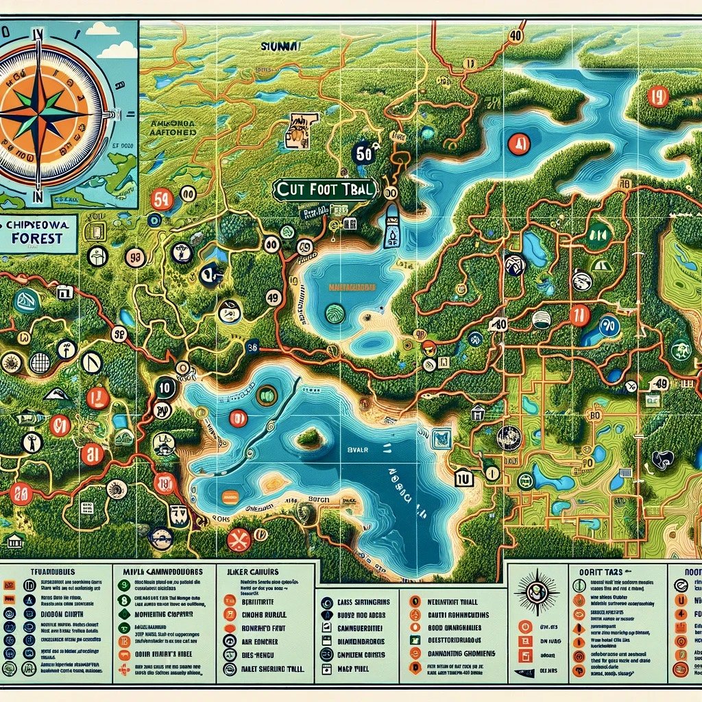
I’ve broken most of the considerations down into two buckets, safety and impact. On the safety side, I’ve tried to make sure there are environmental considerations accounted for including situational alerts (fire danger, storms, flooding, etc). But removed things it can't do well, for instance, it can't make an accurate map (see examples below) so mapping is turned off. Instead, it directs you to local trail organizations to purchase from them. This is where impact comes in. I’ve made sure it looks for local orgs and not only informs the user about them but will also direct you to make a donation, even giving you a link where possible.
This is why we don’t let it make maps!
What I’m learning
There are a bunch of surprises so far. First is just how capable GPT4 is. The data seems pretty good (for this type of data), it can grab Lat/Lon for whatever, and it adds features like landmarks on its own. Making a GPT is very much a give and take, while you train it new things emerge, sometimes they are “features” you didn’t think of, and sometimes they are insane maps. It’s a super cool, organic process. The other surprising thing is its ability to “look across” multiple maps. Do you want to hike in an area that has city state and federal land? Instead of grabbing different maps, or toggling layers in Gaia, Trail Assistant will just find them and try to string them together. I love nerding out over maps (probably more than the next guy) but it's hard to know what's out there. Having something that can help you find what trails exist across different systems is super cool.
So where does this sit? It’s very much a work in progress. It’s missing features and hasn’t been truly validated. I wonder what its capability is for bikepacking or a canoe trip? It needs pressure testing. Give it a try, break it, poke holes in the idea, let me know. Thanks!


